CARTOGRAPHY
3D Mapping
Over the years the techniques of representation of the territory and methodologies have changed profoundly and radically, creating maps and information-rich content and aimed at a more realistic representation, providing three-dimensional products and templates through which to know and plan for the territory.
In these terms the company has always evolved keeping pace with the times, working with all types of images: analog, digital frame or continuous bandwidth than satellite and radar .
The concept mapping has evolved in terms of quantity of information contained in it for both quality levels. Production processes have become more prevalent, usability and data management have been increased, allowing interdisciplinary in terms of users and information extracted from it. All these data are the basis on which to study, plan and structure databases.
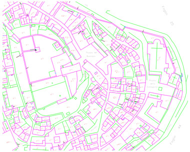
Cadastral mapping
In business, we include the cadastral mapping , structural process by which the cadastral maps, through photogrammetric aerial survey techniques are being built or updated
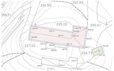
Technical expertise
Over the years the Company has dedicated at the service of the citizen's experience and professionalism, applying its know-how to solve the problems of today's increasingly contentious through technical expertise, to provide all information required for their resolution, from historical images also preserved and catalogued in our archive.

