TOPOGRAPHY
The Company is able to design and execute the entire production process inherent in the activities ranging from topographic surveys in the country to rapid metric leveling and networks to the classification survey.
Over the years the industry has developed and expanded topographical presenting with a fleet up to date and aware of the latest technologies, serving as a farm market attentive and able to interact and understand the needs of the client.
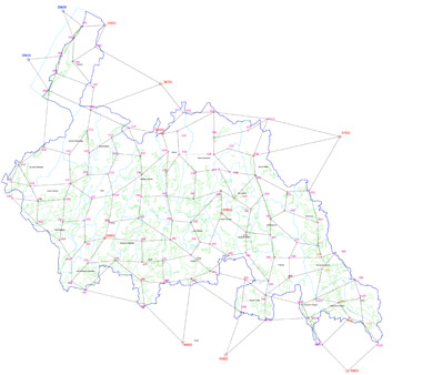
The topographical division over the years has made many important projects, from high precision leveling networks of mentoring and raffittimento with GPS technology, on large areas of entire provinces and regions for projects of national interest.
All topographic services are aimed, in a complete production cycle, the creation of networks framework to serve and / or control the flight and set the parameters for the intervention phase of aerial triangulation and restitution. In addition, all information is verified, monitored and integrated with reconnaissance operations in the country, according also to the technical specifications of reference for the formation of cartography. This product is the skeleton around which to build and deploy any database.
